Case Study: Wayfinding


Creating an Intuitive and Visitor-Friendly College Campus Map
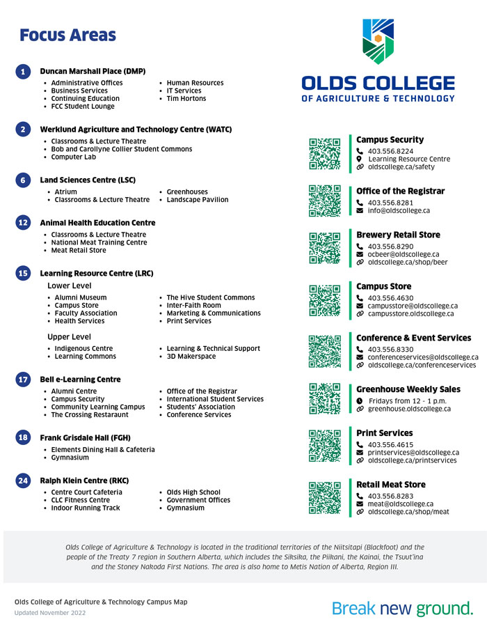
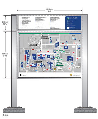
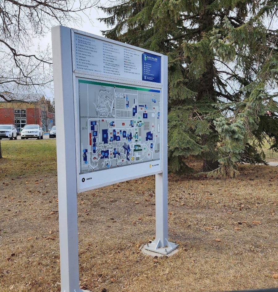
In this case study, I will detail the process of creating a comprehensive campus map and implementing wayfinding signage to enhance the student experience at Olds College. The project involved designing the map using Adobe InDesign, leveraging ArcGIS for accurate building plotting and overlay, and collaborating with stakeholders across the campus to ensure functionality and precision. Additionally, the back of the map was utilized to provide essential visitor-friendly information, including a list of services available in each building, popular service areas' contact information, and QR codes for direct access to their respective pages.
Designing the Map
The first step in the process was to design the campus map using Adobe InDesign. The map's design was intended to be clear, intuitive, and visually appealing to aid students, faculty, and visitors in navigating the campus. Here are the key aspects of the map design:
Clarity and Legibility
The map was designed with a user-centric approach, prioritizing clarity and legibility of labels, building names, and pathways. Various colors and visual elements were used to differentiate buildings and highlight prominent areas.
User Experience (UX)
The map was designed with a focus on user experience, ensuring that it would be accessible to individuals of all backgrounds and abilities. It was optimized for mobile devices, making it easy for users to access the map on their smartphones.
Aesthetic Appeal & Accessibility
My goal was to elevate the overall student experience on campus by providing a visually appealing, informative, and accessible map that helps students locate essential services and facilities conveniently with consistency in design and branding across the map and wayfinding signage to reinforce the visual identity.
Gathering Data
The accuracy of the campus map was crucial to its usefulness and effectiveness. To ensure precision, a detailed data-gathering process was undertaken. This process involved the following steps:
ArcGIS Integration
ArcGIS was utilized to collect accurate geographic data and plot the exact locations of buildings, walkways, and points of interest on the campus. The use of geospatial data allowed for precise mapping and easy updates in the future.
Collaboration with Stakeholders
To gather comprehensive data, collaboration with various stakeholders was crucial. This involved working closely with campus administrators, facility managers, and others to verify building locations, services offered, and identify high-traffic areas.
Visitor Friendly Information
Recognizing the need for more than just physical directions, the back of the campus map was utilized to provide valuable visitor-friendly information. This information aimed to enhance the overall experience of students and visitors on campus:
Service Listings
A comprehensive list of services available in each building was included on the back of the map. This directory provided quick references to essential amenities such as campus security, student support services, retail stores and more.
QR Codes for Quick Access
To modernize the way visitors interact with the map, QR codes were integrated into the service listings. Scanning these QR codes directed users to the respective service's web pages for additional information.
Conclusion
By combining accurate spatial data, user-centric design principles, and visitor-friendly information, the new campus map and wayfinding signage significantly improved the student experience at Olds College. This project stands as a testament to the importance of collaboration, usability, and innovation in creating effective wayfinding solutions on college campuses.
